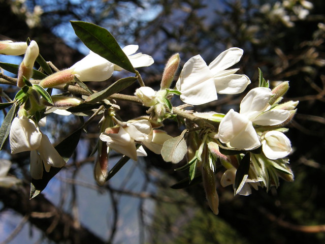
Results : 12
| Photos | Latitude | Longitude | Elevation | Date taken | Owner | |
   | 27.921094 | -15.545648 | (error) | 24/10/2016 | georgegarnett99 | |
 | 43.250501 | -2.155723 | (error) | 14/02/2013 | helicongus | |
 | 28.352722 | -16.490428 | (error) | 16/03/2013 | Teide1 | |
 | 28.343869 | -16.492400 | (error) | 19/03/2013 | Teide1 | |
 | 28.605698 | -17.836475 | (error) | 06/04/2009 | copepodo | |
  | 27.920938 | -15.546262 | (error) | 24/10/2016 | georgegarnett99 | |
 | 27.921130 | -15.545495 | (error) | 24/10/2016 | georgegarnett99 | |
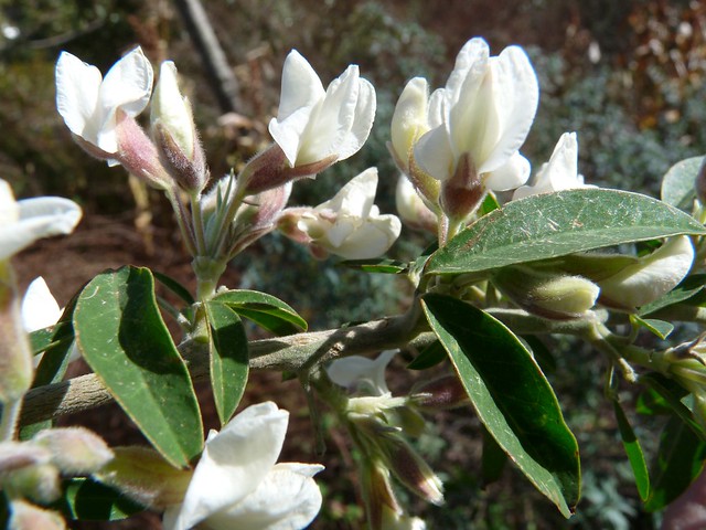 | 43.249922 | -2.155702 | (error) | 24/02/2010 | helicongus | |
 | 28.162609 | -16.637901 | (error) | 15/02/2011 | Fie Niks, back in town |
* indicating the maximum distance between data points from which the elevation was interpolated by Google. For example a value of ~ 10 m / 31 ft indicate that the point used for calculating the elevation was at a maximum of 10 m / 31 ft from the location of the photo.